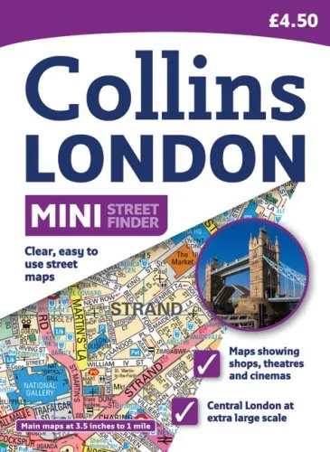
Ideal for pocket or purse, this handy little street atlas covers a large area of central London at a clear and easy to read scale. The pages have striking colored page edges to highlight the different scales of mapping available. It includes color classified roads and buildings; postal district boundaries; car parks, hospitals, and police stations; and tourist information centers. Specific maps include a West End theaters and cinemas map, a West End shopping map, and a congestion charging map and information. Main mapping at 3.5 inches to 1 mile extends from Wembley in the north-west to Richmond Park in the south-east, and Stratford in the north-east to Lewisham in the south-east. Extra large scale central area mapping at 7 inches to 1 mile extends from Kilburn to Fulham Broadway and from Hoxton to Camberwell.